Takua Pa: The Town That Moved with the River
From an ancient settlement on the trans-peninsular route to a market and mining town · Verified facts and questions waiting to be answered.
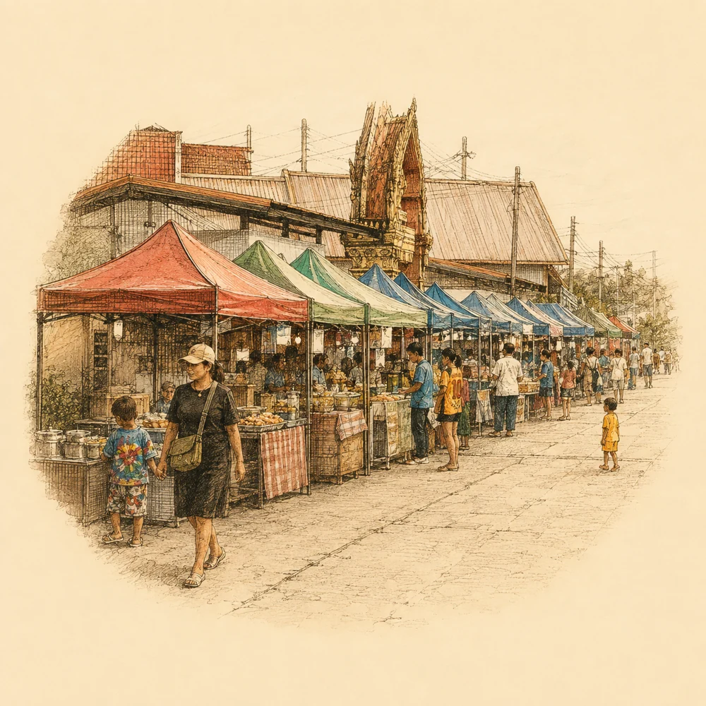
If you have a chance to take a walk in Takua Pa old town on a holiday afternoon, you will see old houses, long streets, and a quiet, charming atmosphere. But deep beneath the cracks in the old walls and the slow-flowing river, this town hides a story of major transformation.
Takua Pa was not located here from the beginning, and it did not always look like this. The town is a living entity that grew, expanded, and moved in rhythm with its resources and the river. From a stopover point on the trans-peninsular route, it became a bustling major market town, and later a town that had to find a new home when the river was no longer favorable.
We will take you to read Takua Pa through what remains: the governor's residence wall that tells a story of wealth, the old temple by the canal, and the river that was once its main artery. This is a town with more than one version of history.
The Ongoing Debate Over the Town's Name

When speaking of Takua Pa, the first question many people wonder is where the town's name came from. Official sources and historians still offer different explanations, and to date, there is no evidence that can bring this to a single, settled conclusion.
The first explanation links the town's name to the word "Takola", which appears in ancient records as a major port on the trans-peninsular route. This word is interpreted as a possible root that gradually changed in pronunciation to the current name over several centuries.
Another explanation is based on local geography and resources. It suggests that the name comes from combining the word "Takua" (which means tin, a mineral abundantly found in the area) and "Pa" (which means forest, reflecting the rich natural environment surrounding the town).
Although documents from the Office of Natural Resources and Environmental Policy and Planning (ONEP) list both explanations as basic information, they clearly emphasize that there is no definitive evidence to confirm either one. The town's name remains the first mystery greeting visitors, leaving us to imagine the past through different explanations.
Takua Pa was not located here from the beginning, and it did not always look like this. The town is a living entity that grew, expanded, and moved in rhythm with its resources and the river.
The Governor's Residence Wall and Town Defense
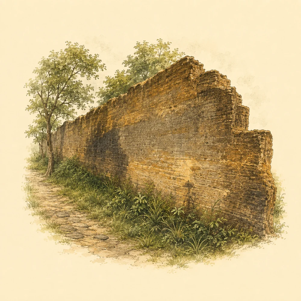
The image of Takua Pa's past wealth is inextricably linked to the tin mining business. One of the structures that most clearly reflects the power and context of that era is the Takua Pa governor's residence wall, which stands as a historical witness to this day.
Scholars have suggested, not settled, that this wall was built during the time of Phraya Senanuchit (Nuch Na Nakhon) while he was the governor between 1840 (2383 BE) and 1881. The wall surrounding the residence was designed as a defensive camp. During an era when the town faced conflicts among Chinese groups linked to the massive benefits from tin mining, the wall served as both a home for the ruler and a fortress to maintain peace.
The wall's structure is highly stable, constructed with layers of mortar mixed with gravel and sand. The base was designed to be wider than the wall itself. The parts that remain intact today reach a height of about 5 meters. Inside the wall, the area was divided into the front palace, the main hall, and the rear palace, with connecting doors well-proportioned throughout.
The significance of this governor's residence also appears in historical records when King Chulalongkorn (Rama V) came to inspect the residence on May 28, 1890 (109 RS or 2433 BE). During the excavation by the Fine Arts Department in 1999, Chinese ceramics from the Qing Dynasty and European ceramics were found, providing evidence of Takua Pa's international trade connections.
A Town That Grew with the River
The Takua Pa River is not just a backdrop for the town, but the main artery that has nourished life and trade since the pioneering era. Official documents explain that Takua Pa old town is an ancient settlement located by the river, and it prospered as a trade center on the trans-peninsular route.
The bustling water trade and tin mining led to the expansion of an area called Talat Yai (the big market) during the reign of King Rama III, which became an important economic center. Near the hustle and bustle of trade, Wat Kongkha Phimuk (the town's temple) or Wat Kongkha, is situated on the west bank of the Takua Pa canal, serving as the spiritual center for the townspeople.
The history of Wat Kongkha reflects the complexity of the old town's information. The cultural environment data states that this temple was built in 1762, while the archaeological database uses 1936 as the construction year for the beautiful southern style ordination hall. This hall is decorated with stucco floral patterns and Buddha images, which are still preserved today.
The differences in these sets of numbers are something we often find in local history. Explaining the town's antiquity through official documents only provides an overview of the settlement in the entire area. It does not mean that every building, every bridge, or every location in the present town has the same age dating back to the town's founding era.
The Day the River Grew Shallow and the Town Had to Move
But nature never stays still, and the river is always ready to change. As time passed, the river that built the town began to change its role. ONEP reports note the end of the golden age of Talat Yai, which was primarily caused by geography and changes in resources.
Long and continuous tin mining caused a massive amount of sand and sediment to flow down and accumulate in the river. The Takua Pa River, which used to be deep enough for cargo ships and passenger boats to navigate easily, gradually became shallower until large-scale navigation declined and became difficult.
Eventually, when the river was no longer favorable as a center for trade and transportation, moving the town's administrative center was inevitable. Official reports state that Takua Pa had to move its town center to an area called Yan Yao in 1913.
That relocation marked the end of Talat Yai's prosperity as a center, turning this area into an old town stopped in time with the past. It left behind Sino-Portuguese architecture and traces of development for future generations to experience and study.
Reading the Town Today
Today, Takua Pa old town has come back to life in a different form from the past. The waterfront by the canal, which used to be a port for transporting tin, has now been revived into the area of the Takua Pa riverside market. It becomes lively again from Saturday afternoon to evening, filled with smiles, the aroma of local food, and the chatter of locals.
The governor's residence wall, once strong, is no longer used to defend against enemies. Instead, it has become a public space open to visitors and is often used as a venue for traditional festivals or major town events. Meanwhile, Wat Kongkha Phimuk continues to function as an active temple with residing monks. It is a peaceful place for meditation and a historical site that is still breathing.
If you have the chance to walk along the cultural street and the river, what surrounds you are not just stagnant ruins of the past, but evidence of adaptation for survival. The town that moved with the river back then continues to flow and change along with the people today.
Before fully believing any numbers or legends of the town, we would like to invite you to read and observe this town carefully. The history of Takua Pa is a charming large book. Some pages might be missing due to time, and some pages are still being written by all of us.
Where to visit in person
Takuapa Riverwalk
Wat Kongkha Phimuk (the riverside temple)
Governor’s Residence Wall
Missing data
- The exact construction year of the governor's residence wall
- Definitive evidence confirming the origin of Takua Pa's name
- The reasons and builders of Wat Kongkha in its early days
Sources
- Takua Pa Old Town · สำนักงานนโยบายและแผนทรัพยากรธรรมชาติและสิ่งแวดล้อม (สผ.) · หน้าเว็บหัวข้อเมืองเก่าตะกั่วป่า · View sources (Accessed 2026-09-07)
- Takua Pa Old Town Documents · สผ. · PDF หน้า 11–13, 55–56, 58 · View sources (Accessed 2026-09-07)
- ฐานข้อมูลแหล่งโบราณคดี: เมืองตะกั่วป่า · ศูนย์มานุษยวิทยาสิรินธร · รายการแหล่งโบราณคดีและข้อสันนิษฐานกำแพง · View sources (Accessed 2026-09-07)